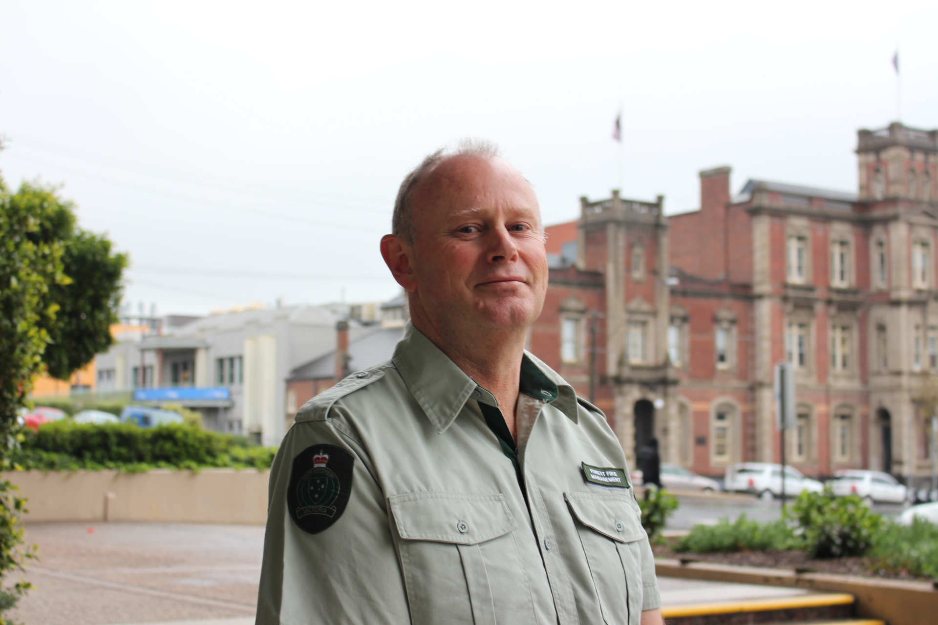
Andrew Morrow, Deputy Chief Fire Officer, Barwon South West region
Risk reduction
For those in the know in Barwon South West, it’s no surprise that we do almost 90% of the region’s bushfire risk reduction activity in the Otway Ranges.
As far as regional fire chief Andrew Morrow is concerned, the Otways district has long been a major focus, not only for his staff but for Victoria as a whole. This is a popular district in a popular region. As a 30-year veteran, Andrew knows better than most the many ways in which this unique area mixes remote bush with thriving coastal communities; and with that comes the perennial risk of bushfire.
“You can actually distil that 90% down to the communities along the Surf Coast — the Great Ocean Road in particular,” said Andrew. “And the Otway district effectively carries the highest proportion — 18% — of the state’s risk.”
Bushfire risk in the Otways increased by 1% to 63% in 2018–19; but as Andrew explains, if his crews had done no planned burning during the year, the risk would have risen to 68%.
“Because we delivered a program in the Otways that was well-targeted and well-aligned to the strategy we have in place, we were able to maintain bushfire risk close to our regional target of 60%,” he said.
After a late start to planned burning due to extended dryness across the landscape, the season made up the lost time by holding on until well into May. This helped with crucial, late-season burns in the Otways district, where we were able to complete seven out of the top ten burns.
“That included two really key burns: the Cora Lynn Creek burn at Lorne and the Currawong Falls burn at Aireys Inlet,” Andrew said.
Those burns, along with two more on the north side of the Otways (at Forrest Neck and Wickham Track), contributed a hefty risk reduction of more than 3%.
“They were larger burns, and they were really important burns for reducing risk, particularly for townships like Wye River, Lorne and Aireys Inlet,” Andrew said.
He rates Lorne’s Cora Lynn Creek planned burn as the biggest investment for the 2018–19 season. It was highly complex to conduct, but it significantly reduced bushfire risk for the major tourist town of Lorne and its water supply, and for neighbouring communities.
Of course, there’s more to this region than the Surf Coast. And for the 2018–19 season, Andrew and his team welcomed new and improved ways to compare and contrast bushfire risk throughout the entire region.
“It’s the first time we’ve compared our bushfire risk outcomes against the district and regional targets,” he said. “Previously, we had metrics for the Otways, and now we also have metrics for the Far South West district, so it’s actually more meaningful for our teams.”
In the Far South West district, which comprises the western half of the Barwon South West Region, key stakeholders include the area’s substantial timber plantation industry. Our planned burning has ensured the district has consistently met its risk reduction target of 55% since 2009. When the 2018–19 fire season began, bushfire risk in the Far South West district was 51%. It currently stands at 52%. If no burning had occurred in this district, bushfire risk would have risen to 53%.
“So these results indicate we’re burning in the right locations to keep bushfire risk below the target, with the trend remaining relatively flat over the last two years,” Andrew said.
Planning and operations
In a district as diverse as the Otways, constraints can be many and varied. That was certainly the case across the 2018–19 season for Andrew and his team.
“We have to manage planned burning around key visitation periods in the Otways,” he said. “So for example, with the Easter period we were working really closely with local communities and tourism businesses to minimise the impacts of smoke and to manage the impacts of our activities (like having to close walking tracks) on tourism in the forest.”
But other factors added to the complexity of conducting the burn program. Along with the ongoing strong community engagement needed around planned burns, Andrew and his team had to contend with the late start to planned burning due to dry conditions, as well as continuing commitments to supporting bushfire suppression in Gippsland.
“During the drying conditions, we had to resource some of the burns over an extended period including on days of elevated fire danger,” said Andrew. “So that also meant significant engagement efforts before, during and after the burns. We have to ensure we’re well linked in with the community and that the community supports the work we do.”
In the Far South West district, the biggest investment was in conducting planned burning in the southern end of the Cobboboonee National Park, towards Portland. It’s here that some of the district’s most important values and assets are found (such as the high-voltage powerlines to the Portland aluminium smelter).
“That’s a really important investment because that area includes the major road transport routes as well,” noted Andrew. “That’s the Princes Highway and the Portland – Nelson Road, which are key traffic routes for all the produce going into and out of Port of Portland.”
Ecosystem resilience
The Far South West district also happens to be the feeding habitat for the endangered South-eastern red-tailed black cockatoo, which represents a key focus and constraint for Andrew and his team.
“The fruit of the Stringybarks in the area is a really important food source for the South-eastern red-tailed black cockatoos,” Andrew explained. “Managing that requires finesse in the delivery of the burning, so we’ve got some really well-developed operational protocols around minimising scorch during our planned burning, to minimise the impact on the feeding habitat of the birds.”
The care required to ensure continued ecosystem resilience in these parts is something Andrew and his team take seriously. “We look at the work really strategically. It’s well-targeted and aimed at minimising the potential for large-scale bushfires. We’re making sure that the extent and severity of the fires don’t adversely affect the birds’ habitat.”
To help guide them in this delicate work, Andrew and his staff teamed with Melbourne University researchers to study and improve their understanding of the likely trajectory of animal and plant species, based on previous occurrence data in the area.
As well as undertaking seed crop assessments, they worked with the South-eastern Red-tailed Black-Cockatoo Recovery Committee and a statistical expert to apply a statistical model to evaluate the likely outcomes for the species of over 50 fuel management alternatives modelled for the Far South West district.
“From that, we were able to establish that our final strategy is unlikely to have a significant impact on the species,” Andrew said. “But it also highlighted that the species is likely to continue to decline over the next 40 years if other mitigation measures aren’t put in place.”
“In the Otways, there is a focus on understanding fauna habitat refuges,” Andrew said. “The planning team has a collaborative project between DELWP, Parks Victoria and Deakin University to identify and map key fauna habitat refuges across the Otways, to inform our strategic and operational planning.”
Fuel management
To improve fuel management planning, methods and delivery and so optimise the efficiency of the risk reduction program, Barwon South West widened the window of opportunity for planned burns, particularly in the Otways.
“We looked at how we could expand out the burning window in some of the heathland areas near Anglesea, which are quite rich in flora and fauna, by undertaking some winter heath burning,” said Andrew.
“That’s been well supported by local environmental groups and is also part of our relationship-building with the Wadawurrung Traditional Owners towards incorporating cultural values into the burn program.”
In the Otways, it was a case of building on the strengths of an effective fuel management program. “We have had a really well-developed strategy in the Otways for some years,” Andrew said. “We’ve driven the risk down substantially over a period of years to the last four or five, where we’ve been around the 60% bushfire risk level. That’s substantial risk reduction, and with the strategies now in place, we’re confident we can continue to sustain and maintain that.”
While in the Far South West, the 2018–19 season brought with it the development of a new, long-term fuel management strategy that better balances the imperative to reduce risk to life, property and plantations while improving outcomes for threatened species such as the South-eastern red-tailed black cockatoo.
Community and partnerships
Community engagement was important in shaping the new Far South West district fuel management strategy, which we aim to have completed and approved by the end of 2019.
“As part of our investment in developing and updating strategies there, we sought involvement from stakeholders and community input to support the strategy directions that we’re looking to set,” Andrew explained.
A key part of developing the strategy was a survey mail-out to seek community feedback. “We sent a social survey out to 4,000 Far South West residents, and 600 completed surveys were returned,” said Andrew. “That’s been a really important part of the input and feedback that helps with settings that we ultimately land on.”
At the same time, Andrew and his team have been partnering with Traditional Owners in the area. “We’ve been working closely with the Gunditjmara Traditional Owners to look at how we might be able to support them and their aspirations around cultural burning, particularly in the recently declared World-Heritage-listed Budj Bim Cultural Landscape,” he said.
The 2018–19 season also saw extensive cooperation with local landowners to conduct cross-agency, cross-tenure burns jointly with the CFA.
“There were a number of burns we did that were cross-tenure: on public and private land. A key one was near Aireys Inlet, which was principally on private land,” Andrew explained.
He sees close involvement with all aspects of community life and with local governments as critical to FFMVic’s ongoing success across the region. “The engagement we have in place is really strong, and it’s crucial to have that continue in a cohesive way,” he said.
“We have good involvement with environmental groups, BirdLife Australia, the South-eastern Red-tailed Black-Cockatoo Recovery Committee and many others. They’re all connected in, and they help us shape the program. So in that way, we’re mitigating risks to key values across a range of areas and interests.”
The planned burn at Lorne’s Cora Lynn Creek was a textbook example of successful community engagement. “For that, we had the CFA and FFMVic people on the foreshore at Lorne talking about the burn program,” he said. “It was a great way for us to connect in and actively engage with communities that are close to the burn operations, and more generally.”
Similarly, working with community-based bushfire management (CBBM) groups in high-risk communities has been a highlight for Andrew and his team. “The CBBM projects in Lorne, Wye River and Aireys Inlet have been a real feature,” Andrew said.
“Some of those programs have connected with local schools at Anglesea and Aireys Inlet, and it’s been wonderful to be involving the kids in understanding the bushfire risk in their townships, as well as their own families’ preparations.”
The students of Aireys Inlet Primary School had plenty of their questions answered about a planned burn conducted in the nearby bushland. With links to the school through the local CFA, the planned burn was put on the Joint Fuel Management Program, prepared by Parks Victoria and conducted by the CFA, with FFMVic support.
“That sort of activity, on the doorstep of the school, really gives visibility to what we’re doing in a community sense, and it opens up the conversation about bushfire resilience and awareness,” said Andrew. “Those sorts of opportunities are really valuable because they can help bring about behavioural change in terms of living with fire.”
Page last updated: 23/12/20