The design and delivery of Forest Fire Management Victoria’s fuel management program are set up to meet the primary objectives for bushfire management on public land in the Code of Practice for Bushfire Management on Public Land 2012:
|
Our approach to fuel management on public land
Victoria is one of the most bushfire-prone areas in the world. In past decades, Victorians have seen the disastrous effects bushfires can have on communities and the environment.
Under the Forests Act 1958 and in line with the Code of Practice for Bushfire Management on Public Land 2012, the Department of Environment, Land, Water and Planning (DELWP) is responsible for managing bushfire risk on public land in Victoria. DELWP manages bushfire risk in accordance with the Code’s two primary objectives (refer above).
To do this, FFMVic works with many organisations and individuals including other Victorian Government departments, local government, emergency management services, environmental organisations, water corporations, industry bodies, and Traditional Owners through land management partnerships, to manage bushfire risk across public land on behalf of all Victorians.
Forest Fire Management Victoria (FFMVic), or ‘we’ in this report, represent the partnership arrangements that DELWP draws on to manage bushfire risk on public land. This partnership includes DELWP, Parks Victoria, VicForests, Department of Jobs, Precincts and Regions and Melbourne Water.
This approach is strengthened by Safer Together, the Victorian Governments approach to reducing the risks of bushfires in Victoria. Under the Safer Together framework, FFMVic works in partnership with state and local government agencies and communities and applies the latest science and technology, to understand bushfire risk and more effectively target our bushfire risk reduction activities.
Managing bushfire risk is an ongoing and shared responsibility, and everyone has a role as bushfires burn on private and public land. FFMVic modelling reflects this. While our fuel management activities are primarily on public land, we work in partnership with the CFA, other land managers and owners to ensure an integrated approach to managing bushfire risk at the right locations.
Fuel management is just one strategy for reducing bushfire risk - it includes planned burning (lighting and managing planned fires in the landscape), and mechanical and other non-burn fuel treatments (mowing, slashing, mulching, and using herbicides).
FFMVic and partner agencies undertake joint planning at both strategic and operational levels to inform the fuel management program. Each of our six regions has bushfire management strategies to guide their fuel management activities; the Joint Fuel Management Program (JFMP) sets out the prioritised annual schedule of fuel reduction works: planned burning, slashing, mowing, and clearing. The strategies also specify fire management zoning of public land, with zoning the key driver of the JFMP.
For fuel management purposes, bushfire management strategies for each region use fire management zoning as a tool to implement local bushfire management objectives on public land in Victoria. Each fire management zone has its own intended fuel treatment aims and associated performance measures - although we can achieve multiple goals when undertaking activities in a zone. There are four fire management zones defined in the code:
- Asset Protection Zone (APZ): using intensive fuel treatment, the APZ aims to provide the highest level of localised protection to human life and property and key community assets. The goal of fuel treatment is to reduce radiant heat and ember attacks from a bushfire. We treat fuels in the APZ by planned burning and mechanical fuel and other non-burn fuel treatments (mowing, slashing, mulching, and using herbicides).
- Bushfire Moderation Zone (BMZ): this zone aims to reduce the speed and intensity of bushfires. This zone complements the APZ as planned-burning in the BMZ aims to protect nearby assets, particularly from ember spotting during a bushfire. Where practicable, FFMVic aims to achieve ecological outcomes by managing for ecologically desirable fire regimes, provided we can still meet bushfire protection objectives, including fuel reduction through non-burn fuel treatments.
- Landscape Management Zone (LMZ): within this zone, planned burning is used for three broad aims: bushfire protection outcomes by reducing the overall fuel and bushfire hazard in the landscape; ecological resilience through appropriate fire regimes; and management of the land for specific values including forest regeneration and protection of water catchments at a landscape level. Other fuel reduction methods are used within this zone as appropriate.
- Planned Burning Exclusion Zone (PBEZ): this zone excludes the use of planned burning, primarily in areas where the vegetation is intolerant to fire.
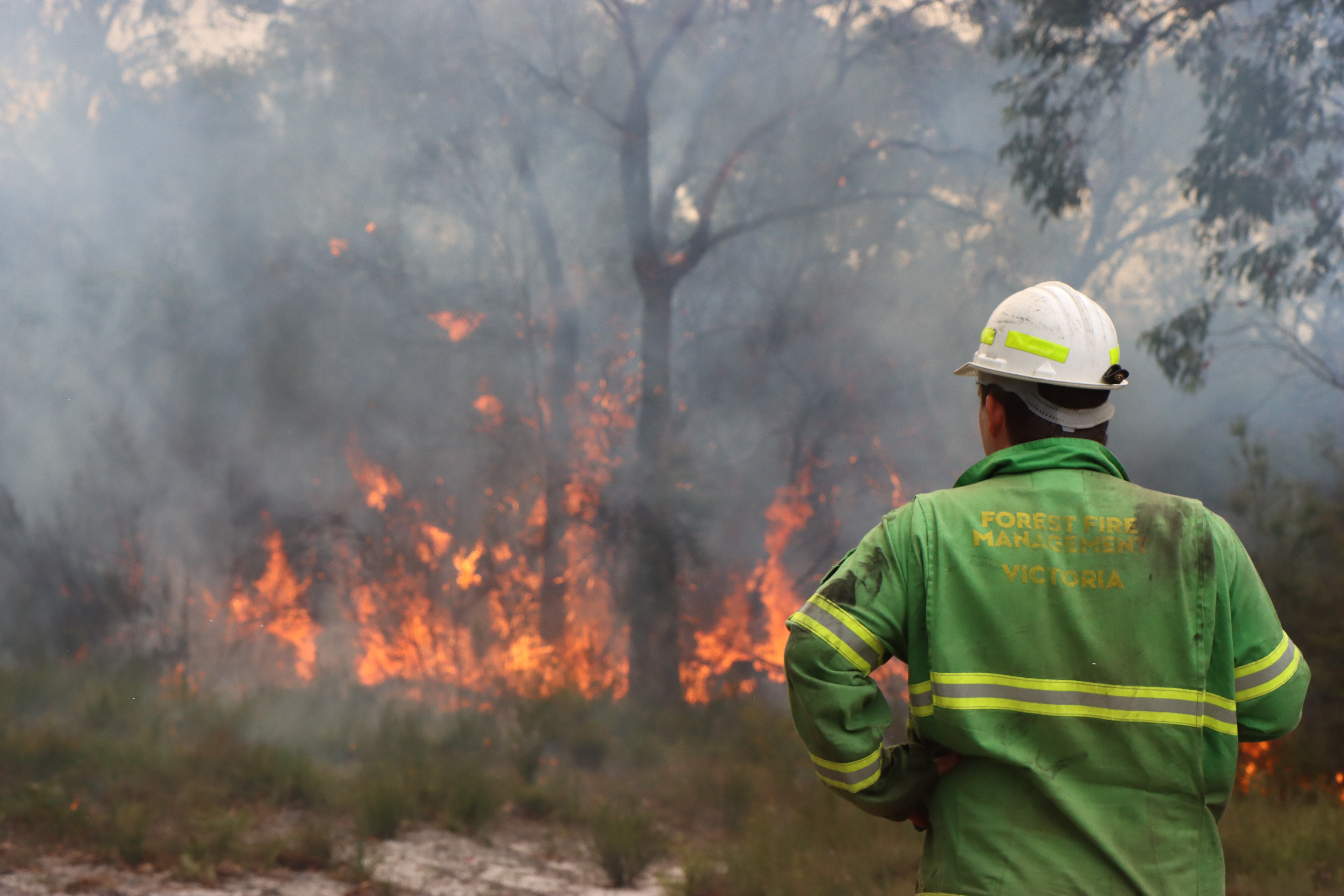 Forest Fire Management Victoria staff conduct planned burning to manage fuels
Reporting scale
This report uses two scales, statewide and regional, to report fuel management delivery and outcomes. Modelling of outcomes occurs at the statewide scale and informs the development of regional risk profiles and targets. Bushfire management planning and delivery of on-ground activity, including fuel management, occurs at the regional scale, with each region comprising two or more fire districts. The JFMP translates our risk reduction targets to regional activity targets, reflected in the regional bushfire management strategies, to inform for operational delivery planning.
Data and model output improvements
FFMVic invests in and uses the best available evidence-based models and data to calculate the metrics presented in the annual Managing Victoria’s Bushfire Risk - Fuel Management Report each year. We continually seek to improve and update our metrics as better data becomes available, our research program provides new knowledge, we develop new technology or mapping accuracy improves. For example, improvements to our mapping of fire footprints enables us to improve our measurement of statewide bushfire risk, while improvements to how we capture expenditure details for fuel management and non-fuel management activities expenditure may change the way costs are reported from year to year.
We continually work to improve the data and science that inform our decisions, and we expect to make updates to our reporting that capture these improvements. Consequently, comparisons between this report and past or future reports should consider this continuous improvement and variations in how outcomes are assessed. For the most accurate view of current and historic figures, you should always consult the most recent fuel management report.
Page last updated: 23/12/21